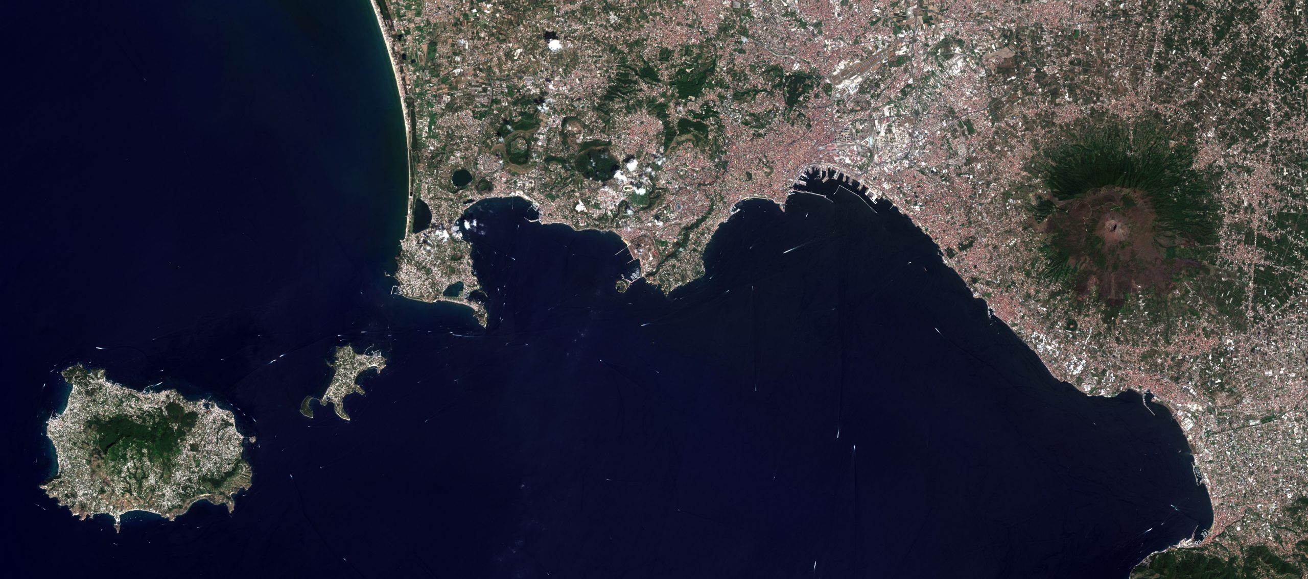
Earth Observation with ESA missions
is a university course is developed in cooperation with European Space Agency ESA within the 5th project call of the PECS programme (Plan for European Cooperating States)
Lectures
Course lectures about ESA missions, satellite images processing, and its use in geosciences
Exercises
Practical exercises about satellite images processing in SNAP software enviroment
About the Course
All practical information about the course and requirements of its completion
About us
Our team of trainers
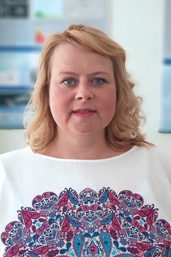
Assoc. prof. Katarína Pukanská, PhD.
Project Manager
She works as an associate professor at the ÚGKaGIS, FBERG, TUKE. At the Faculty of BERG, TU Košice, she leads lectures and exercises in subjects Remote Sensing, Photogrammetry I., II. and Space Geodesy. She specialises in laser scanning and digital photogrammetry in creating spatial models of surface and underground objects, digital terrain models, mapping, and using these methods in special industrial applications.
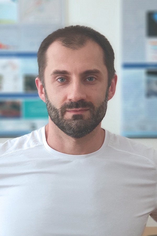
Karol Bartoš, PhD.
Assistant Professor
He is an assistant professor at ÚGKaGIS, FBERG, TU Košice. He leads the subject Surveying at the Faculty of Civil Engineering, and exercises in subjects Photogrammetry I. and Surveying I. In his professional activities, he specialises in digital photogrammetry technologies, terrestrial laser scanning and remote sensing, and their use in the creation of spatial models of underground and surface objects, mapping of natural and anthropogenic objects and phenomena.
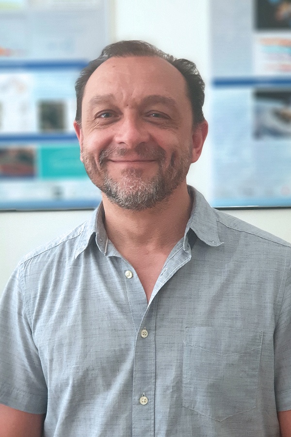
Assoc. prof. Peter Blišťan, PhD.
Director of the Institute
Currently, he is a director of the Institute ÚGKaGIS, FBERG, TU Košice, where he works as an associated professor. He specialises in the field of geoinformatics with the focus on 3D modelling and visualisation of spatial data in GIS. He is a member of editorial board of several home and international scientific journals, scientific guarantor of several international conferences, he also works as a professional expert.
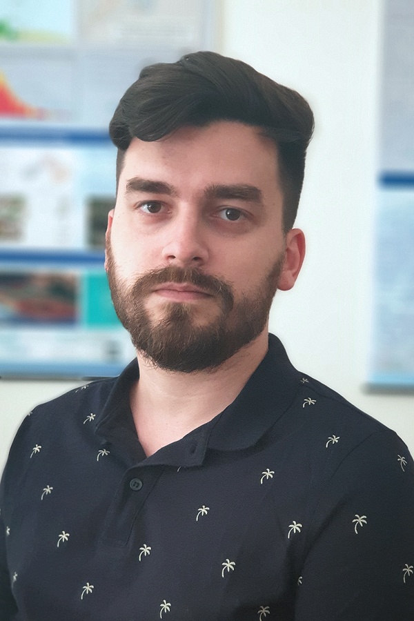
Ľubomír Kseňak, PhD.
Assistant Professor
He is an assistant professor at ÚGKaGIS, FBERG, TU Košice. He leads exercises from Spherical Geodesy, Remote Sensing, Surveying in Underground Spaces, and Field Exercises from Surveying. As part of his research activities, he deals with the issue of obtaining and processing data from remote sensing, specialising in various types of satellite data, while in this area, he has completed several foreign trainings and courses.


Contact Us
Katarína Pukanská
katarina.pukanska@tuke.sk +421 55 602 2978
Karol Bartoš
karol.bartos@tuke.sk +421 55 602 2978
Peter Blišťan
peter.blistan@tuke.sk +421 55 602 2786
Ľubomír Kseňak
lubomir.ksenak@tuke.sk +421 55 602 2960

